The region described in the articles is, so to speak, an overlay of various areas – geological, state, ethnological or historical. It is customarily divided into three parts: Western, Central and Eastern or also Gorajskie, Tomaszowskie and Rawskie. This area, due to its border character – has the characteristic features of mixing cultures. So let’s look at it from different angles.
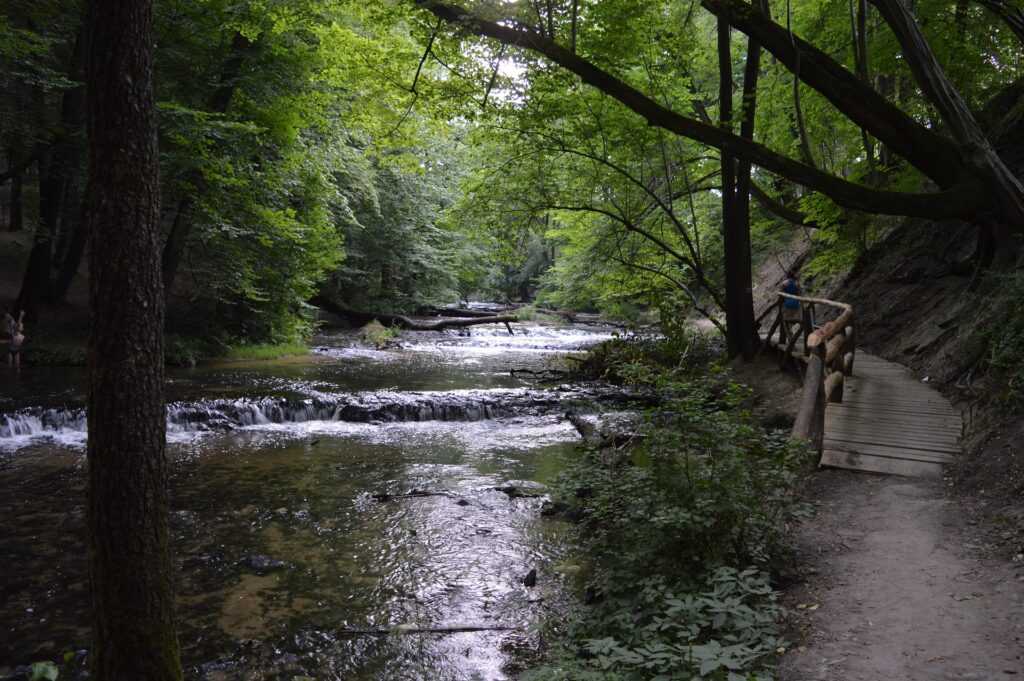
Geologically, the Roztocze is a range of hills, 180 km long and 20 km wide, stretching from Kraśnik to Lwów. I will quote a description from the 1881 “Dictionary of the Geographical Kingdom of Poland and other Slavic countries”: (hills) “connecting over the Lvov Basin by a lofty upland with the western slope of Gologory. This range, which begins near Zamarstynow and Klepariv near Lvov, stretches at an altitude of 380m north-west to Magierow, and from there continues almost equidistant from the Bug and San rivers to Potylicz, Werchrata and Belzec. It forms the watershed of the Bug and San rivers. The main ridge of the Roztocze has the form of an elongated and narrow upland, above which rise isolated humps. Towards the east, only two longer, low crags break away from the main range and follow the course of the Pełtwa and Jaryczówka rivers as far as Zadwórze and Milatyn. The eastern block of the Roztocze slopes more steeply to the north from the Haraj Hill above ¯ółkwia, and is preceded in many places by deep valleys and gullies with rocky sides and bottoms covered with huge sandstone rubble. The western slope is much gentler, branching out into wide sandy and wooded hills that reach, in some places, all the way to the banks of the San River “1.
While the geological state, by its very nature, has not been transformed and remains the same, historically the region has had a different administrative affiliation every now and then. In the 10th century, part of these lands were located within the Czerwieńskie Grody (Red Ruthenian Courts), under the rule of Mieszko I. These settlements, located on the border between Poland and Ruthenia, became the subject of disputes between Duke Mieszko I, and later between King Bolesław Chrobry and the Ruthenian dukes: Vladimir, then Jaroslav and Mstislav. In the 11th century, after the disintegration of Kievan Rus, the area became part of the Duchy of Halicz and Vladimir. In the 12th century, the principalities of Bełsk and Przemysl were separated here. In the 12th and 14th centuries, after the Tartar invasions, these lands passed several times, alternately, under the rule of the Grand Duchy of Lithuania, the Kingdom of Poland and again the Grand Duchy of Lithuania. In 1462 the Belian Duchy was incorporated into the Crown, acquiring the status of a province in the province of Red Ruthenia. In this form it survived until the First Partition of Poland2. After the first partition, these lands were for the most part annexed by Austria. The subsequent partitions did not affect the borders in this area. It was not until the creation of the Duchy of Warsaw and the expansion of its territory that a small fragment of the Roztocze lands near Zamość was included. After the Congress and the creation of the Kingdom of Poland, the border to the south-east ran between Tomaszów Lubelski and Bełżec, where a border post from the times of the Partitions still stands. After the First World War, in 1919, the Republic of Poland was reborn, encompassing the entire Roztocze within its borders. Not for long, however, as during World War II the border crossed the Roztocze again, this time between Russia and Germany. In 1941, the entire Roztocze was incorporated into the “Great Reich”, while in 1944 the area was completely taken over by the Russians. After the end of the war, the new Polish border was drawn in the east along the line of the Bug River. The boundary line established in 1945 and 1951 is still in force today, and the Roztocze is now part of two countries: Poland and Ukraine.

1 W. Łysiak, Roztocze, Historia i kultura I, Tomaszów Lubelski, Lubaczów, 2011
2 E. Okoń, Historia i kultura I, Tomaszów Lubelski, Lubaczów, 2011
